
Wake County to Expand Flood Monitoring at Ten Key Dams with United States Geological Survey (USGS) Partnership
New technology will allow County to better manage water levels within the reservoirs and ultimately minimize the risk of overtopping and dam failure.
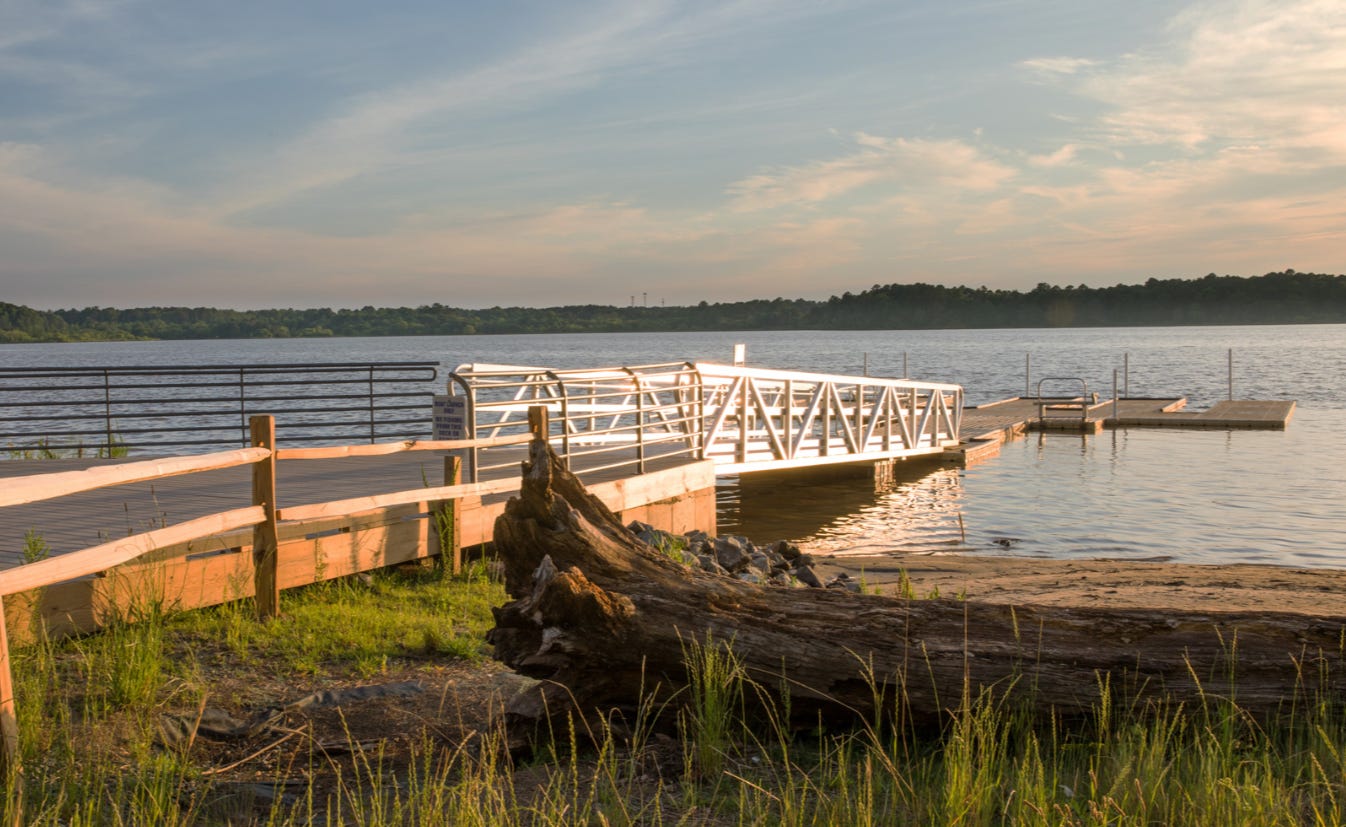
Raleigh, NC, Jul. 9, 2025 — Wake County is moving forward with a plan to bring modern flood monitoring to all ten of its major flood control structures in the Crabtree Creek Watershed. A five-year agreement with the U.S. Geological Survey (USGS) will enable the installation of real-time water level monitoring systems, which officials say will enhance public safety, emergency response, and long-term infrastructure planning.
The Wake County Board of Commissioners has approved a multi-year services agreement with USGS, following a successful one-year pilot at Lake Crabtree. The County first partnered with USGS in July 2024 to install a monitoring and telemetry system at that site. After eight months of operation, the system has proven to be reliable.
“The installation of this hardware will allow Wake County staff to better manage the water level within the various reservoirs and ultimately minimize the risk of overtopping and dam failure,” county staff noted in a summary. “Recorded data will also result in more accurate hydraulic and hydrologic modeling efforts required for future improvement projects.”
The monitoring data will integrate with the City of Raleigh’s Flood Early Warning System, enhancing coordination during significant rainfall events.
The five-year agreement will cost Wake County $60,000 in FY26, with annual increases of $2,000, reaching $68,000 by FY30. Significantly, the USGS is contributing $300,000 in Cooperative Matching Funds to offset hardware and monitoring expenses. The five-year structure also allows Wake County to avoid paying a $15,000 per-site installation fee that would apply under an annual agreement.
The ten flood control structures covered under the agreement are:
Lake Crabtree
Sorrell Grove
Hatcher's Grove
Bond Lake
Page Lake
Richland
Lake Lynn
Cole Branch
Brier Creek Reservoir
Shelly Lake
These dams were constructed initially by the USDA’s Natural Resources Conservation Service in the 1970s and 1980s. Wake County signed an Operations and Maintenance Agreement with NRCS in 1975 and has managed them since, but until recently, no active water level monitoring had been in place.
With the first year of funding already included in the FY26 General Fund Operating Budget, the project marks a long-awaited modernization of critical flood control infrastructure.